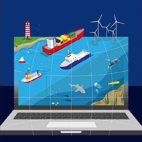
The European Marine Observation and Data Network (EMODnet) is a network of European organisations working together to observe the oceans, to make the collected marine data freely available and interoperable, to create seamless data layers across sea-basins and to distribute the data and data products through the Internet. The primary aim of EMODnet is to unlock existing but fragmented and hidden marine data and make them accessible for a wide range of users including private bodies, public authorities and researchers.

The European Atlas of the Seas is the official digital mapping tool of the European Commission's Directorate General for Maritime Affairs and Fisheries (DG MARE) dedicated to ocean literacy. It is an easily accessible, interactive and user-friendly tool, available in the 24 European Union languages, that can be used by schools, aquariums, museums, policy-makers, blue economy professionals, media and citizens. Since September 2017, Seascape Belgium has taken over the management and further development of the Atlas from the Joint Research Centre (JRC). Thanks to its catalogue of more than 275 map layers, the Atlas makes it possible to explore a wide range of popular marine topics, such as the environment, marine life, nature conservation, sea surface temperature trends, sea level rise, marine litter, fisheries, aquaculture, tourism, energy, transport, and much more! A total of 18 data providers contribute data to the Atlas, including the European Commission, the European Marine Observation and Data Network (EMODnet), the European Environmental Agency (EEA), Eurostat, the Joint Research Center (JRC), the Copernicus Marine Service,the Network of European Blue Schools, the Youth4Ocean Forum, and the EU4Ocean Platform. With the My Maps function, users of the Atlas can create their own working space in the Atlas. A Teachers’ Corner is also available where teachers can find ready-to-use map-based exercises for students of different age groups as well as fun activities such as a Treasure Hunt and Virtual Boat Races!
For more information, please see european-atlas-of-the-seas.eu.


